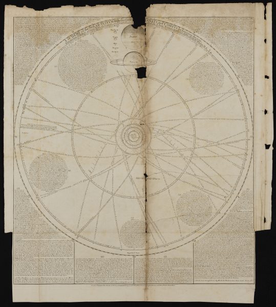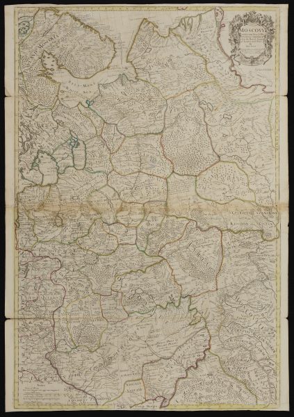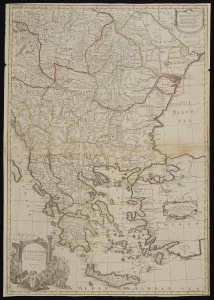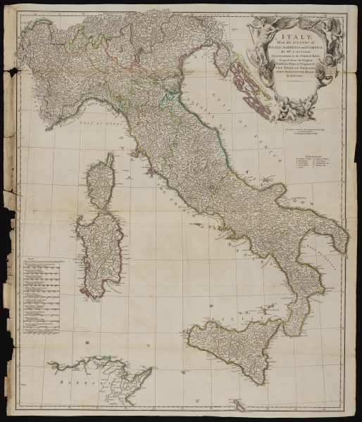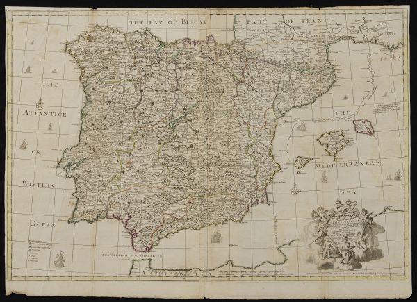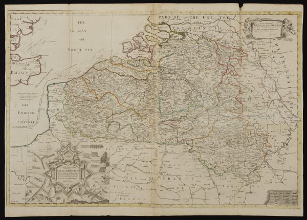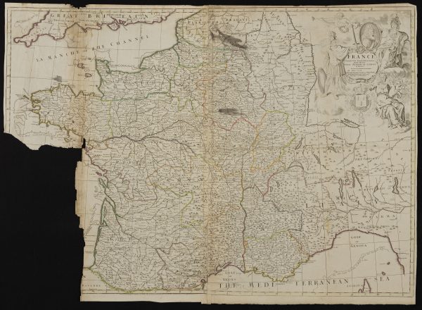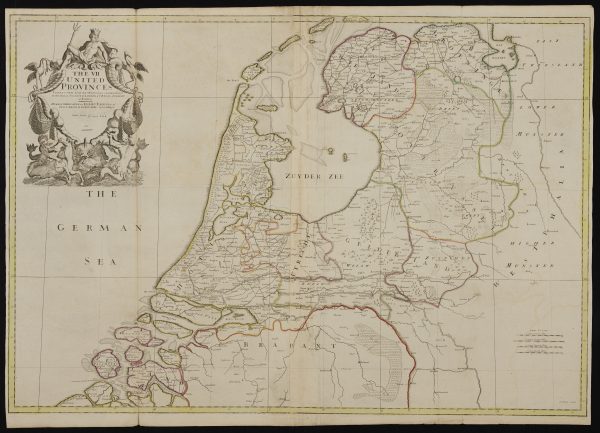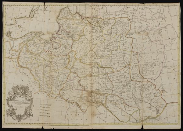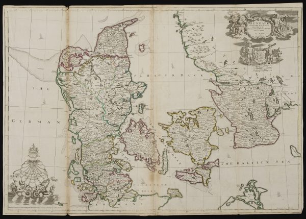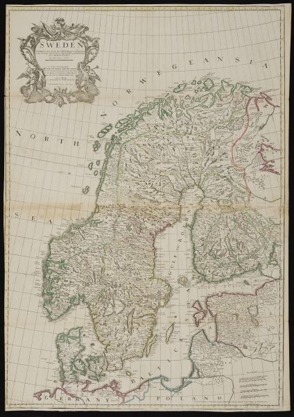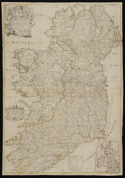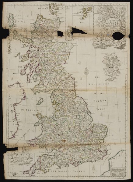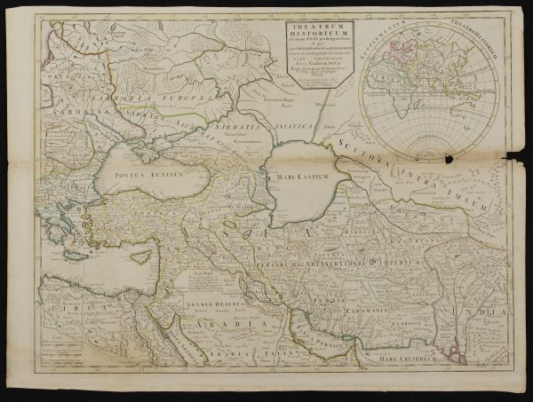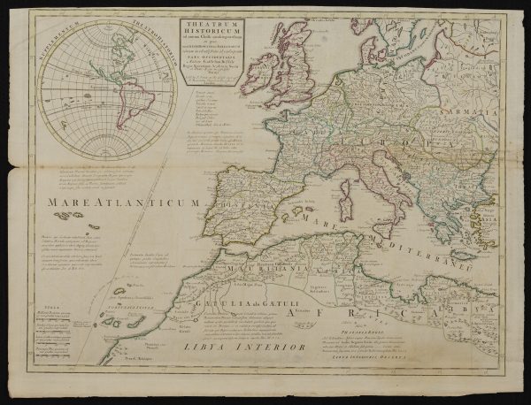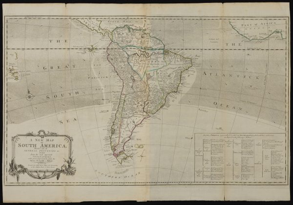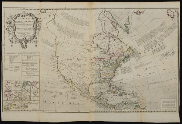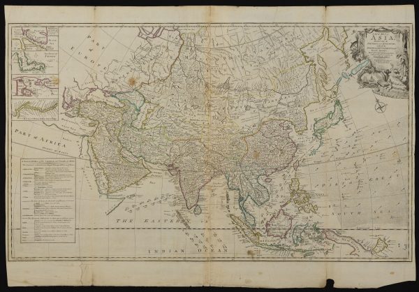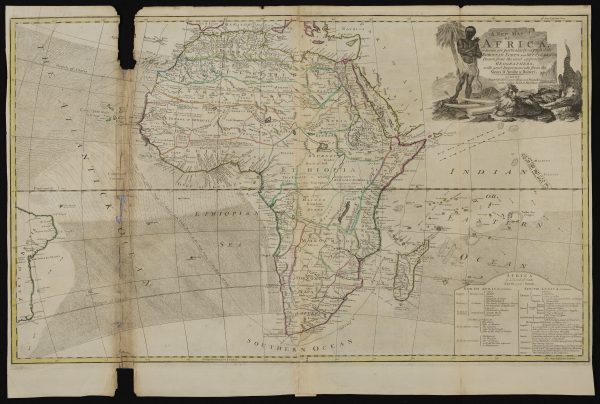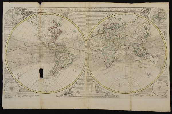
Bath Royal Literary and Scientific Institution collections includes a number of large archival items, amongst these a number of 18th century maps are particularly fine. As part of our bicentenary celebrations we are making twenty items available for study at high resolution on our website. The maps are from John Senex, one of the principal cartographers of the early 18th century, and the later Robert Sayer. There is also ‘A scheme of the Solar system with the orbits of the planets and comets belonging thereto’ by William Whiston and John Senex, based on the work of Edmond Halley and Isaac Newton.
These are shared for the public benefit under a Creative Commons License (CC BY-NC-SA 4.0 -Creative Commons Attribution-NonCommercial-ShareAlike 4.0 International)
In 2023 we were awarded a grant by South West Museum Development, thanks to funding from Arts Council England, to better store and utilise these large items. Thanks to this funding we have protected these maps and plans for the future in a bespoke cabinet in our stores, commissioned Townsweb Archiving to digitise a selection of them, and make them available to all on the internet and through future workshops and events in Bath.